
Bike & Walking Guides
Skagit County Bike Map

- Download Bike Map PDF
- Updated in 2024
Skagit County Walking Trail Guide
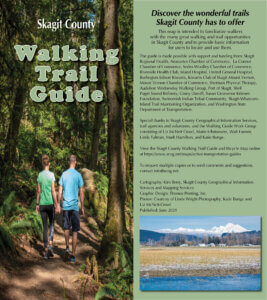
- Download Skagit County Walking Trail Guide PDF
- Updated in 2021
Non-Motorized Advisory Committee
The Skagit Council of Governments Non-Motorized Advisory Committee develops and updates active transportation guides with support from local donors and Skagit County GIS. Click the links above to download PDF copies of the maps. Contact SCOG for paper copies of the maps. Have Fun and Be Careful. These maps are for reference only. They are designed to give the user a general idea of where they are on the roadway network or in the wilderness. They are not designed to show hazardous areas or other dangers associated with using maps.